DE
DE  EN
EN  ES
ES Do you feel like hiking on hot lava trails, admiring the Atlantic Ocean, and wandering through bizarre volcanic landscapes?
A paradise for hikers – The Canary Islands
The Canary Islands are not only known as sun-drenched holiday destinations but also as true hiking paradises. Each of the seven main islands has its own unique landscape DNA: volcanic craters, rugged ravines, lush green laurel forests, and dramatic coastal paths shape the scenery. Hiking enthusiasts will find a pleasant year-round climate, excellent infrastructure, and above all: trails with a wow factor.
In this article, we present the most beautiful hikes on the Canary Islands – from the lava fields of Lanzarote to the green highlands of La Palma. Whether you're a beginner or an experienced trekker, you’ll find your own personal hiking adventure here.
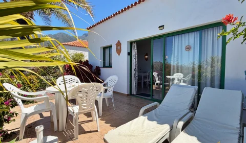
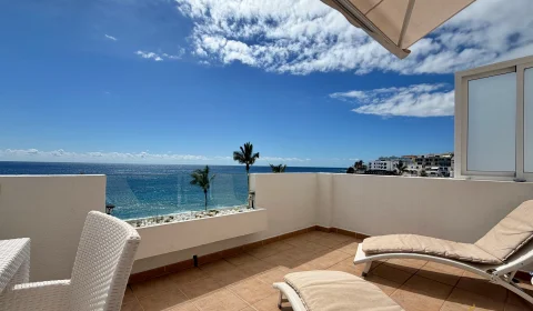
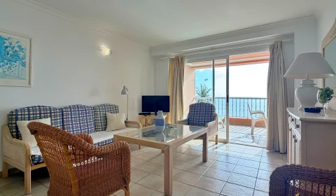
Holiday accommodation Canary Islands
Tenerife – The classic among volcano hikes
Tenerife is the largest and most diverse of the Canary Islands – and an absolute must for hiking enthusiasts. The impressive Teide National Park, with its bizarre lava landscapes and moon-like scenery, is particularly captivating for nature lovers. But even beyond Teide, the island offers dreamlike routes along volcanic formations, through pine forests, and along rugged ravines.
The infrastructure for hikers is excellent: well-marked trails, numerous entry points, and the ability to reach many starting locations easily by public transport or rental car. Here are four particularly worthwhile hikes on Tenerife:
Montaña Blanca & Pico del Teide (via Refugio Altavista)
Difficulty: Difficult
Length: approx. 8,3 km (one way)
Elevation gain: approx. 1.400 m
This tour is the classic – and a challenge. From Montaña Blanca, the trail steadily ascends through a bizarre lava landscape to the highest point in Spain: the crater of Teide. For the final section to the summit (from La Rambleta), you need a free but limited permit, which must be applied for online in advance.
Tip: If you want to experience the sunrise at the summit, you can stay overnight at Refugio Altavista (advance reservation required).
Roques de García – Circular hike in the teart of the National Park
Difficulty: Easy to moderate
Length: approx. 3,5 km
Elevation gain: approx. 180 m
This family-friendly circular hike starts at the Parador Nacional de Las Cañadas and takes you around the famous Roques de García – bizarre rock formations that look like sculptures from another world. The view of Teide is spectacular, and the trail is varied and not too demanding.
Speciality: The “Roque Cinchado” rock is a popular photo subject – almost surreal against the imposing backdrop of Teide.
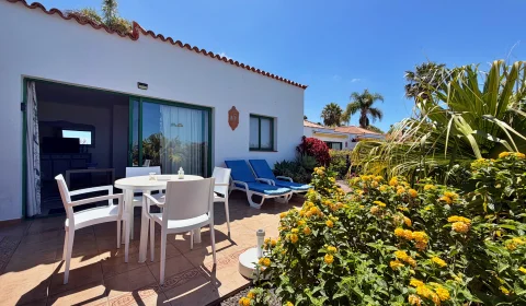
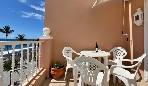
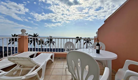
Holiday accommodations Tenerife
Paisaje Lunar – The “Moon Landscape” near Vilaflor
Difficulty: Moderate
Length: approx. 12.5 km (circular route)
Elevation gain: approx. 600 m
This hike starts in the highest village in Spain – Vilaflor – and leads through pine forests into a geologically fascinating zone. The “Paisaje Lunar” is a group of bizarre tuff rock formations created by erosion and truly resembles a foreign moon landscape.
Tip: Start early to enjoy the tour in peace – the trail is well marked (PR TF-72).
Masca Gorge – Adventurous hike through one of the wildest ravines
Difficulty: Moderate to difficult
Length: approx. 5 km (downhill)
Elevation loss: approx. 600 m downhill
The Barranco de Masca is one of the most spectacular gorges on Tenerife. From the picturesque village of Masca, a narrow path leads over rock steps and lava rock all the way down to the Atlantic Ocean. The hike is demanding and requires surefootedness, but the natural scenery is breathtaking.
Note: Access is regulated, and registration via the island administration’s booking system is required.
Conclusion: Tenerife offers the perfect experience for every hiker – from a relaxed stroll through lava landscapes to a challenging summit ascent. The mix of volcanic history, natural wonders, and panoramic views makes every route an unforgettable adventure.

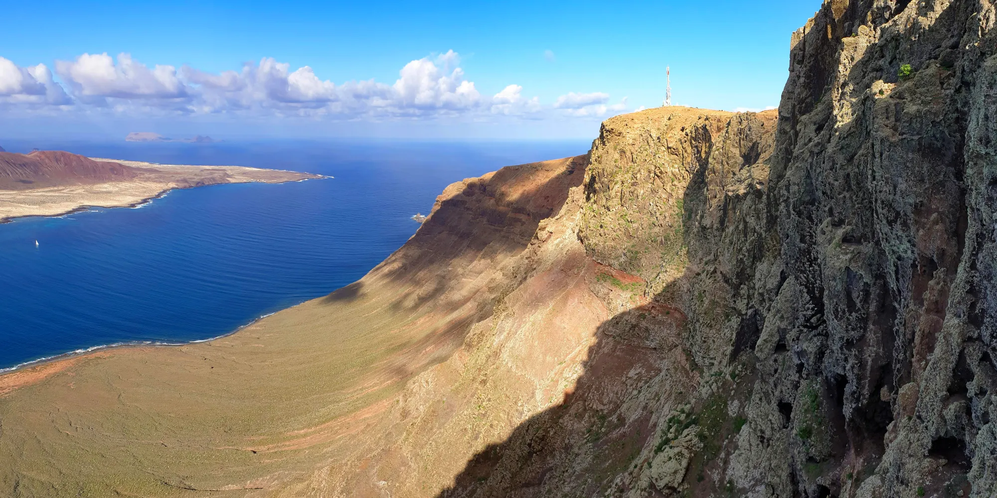
La Gomera – Laurel forests and coastal trails
La Gomera, the second smallest of the main Canary Islands, is a true gem for nature lovers. Here, you’ll find a contrast of ancient cloud forests, dramatic ravines, and wild coastal trails. The island is of volcanic origin, but unlike Lanzarote or Tenerife, its landscapes are often lush, green, and mystical.
La Gomera is especially famous for Garajonay National Park, a UNESCO World Heritage Site home to one of the last laurel forests in Europe. In addition, the island features steep coastlines, terraced fields, and traditional villages. Despite its small size, it offers a dense network of excellently marked hiking trails. Here are four varied routes for every hiking level:
El Cedro – La Laguna Grande (Garajonay National Park)
Difficulty: Easy to moderate
Length: approx. 9 km (circular route)
Elevation gain: approx. 300 m
This tour takes you right into the enchanted laurel forest. Moss-covered branches, ferns, and mist lend the route a mysterious atmosphere. Starting point is the forest house El Cedro. From there, you hike on well-maintained paths to Laguna Grande, a popular rest area with picnic facilities.
Tip: This hike is especially beautiful in the early morning when the mist still hangs in the treetops.
Alto de Garajonay – The highest point on the island
Difficulty: Easy
Length: approx. 5 km (out and back)
Elevation gain: approx. 150 m
This simple but rewarding tour leads to the highest point on La Gomera at 1.487 meters. From the parking area at Pajarito, a gently ascending path takes you through pine and laurel forest up to the ancient sacred site at the summit. On a clear day, you’ll have breathtaking views of Tenerife, El Hierro, and La Palma.
Speciality: At the summit, you'll find remnants of a pre-Hispanic ceremonial site – perfect for culture-oriented hikers.
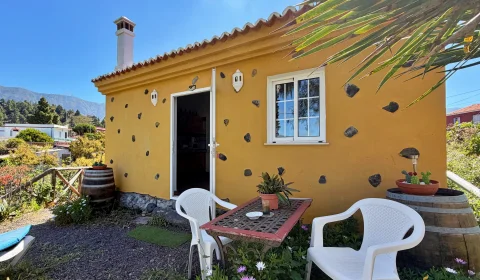
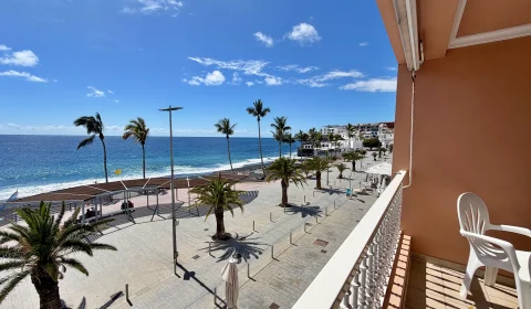
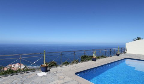
Holiday accommodations La Gomera
Arure – Taguluche – Dramatic gorge & coastal panorama
Difficulty: Moderate
Length: approx. 8 km (out and back)
Elevation gain: approx. 600 m
This breathtaking hike takes you from the highland village of Arure down into the remote Taguluche Valley via old shepherd trails. You’ll cross steep terraced slopes, experience wild rock landscapes, and enjoy spectacular views of the Atlantic. Once at the bottom, you’ll reach the almost forgotten village of Taguluche with its palm trees and gardens.
Tip: Bring plenty of water – there is little shade along the way.
Valle Gran Rey – La Calera – Mirador del Palmarejo (César Manrique)
Difficulty: Moderate to difficult
Length: approx. 7 km (circular route)
Elevation gain: approx. 550 m
This circular hike starts in the popular holiday destination of Valle Gran Rey and leads through the charming village of La Calera up to the Mirador del Palmarejo, a spectacular viewpoint designed by artist César Manrique. The view over the valley is breathtaking. The descent follows winding switchback paths with fantastic vistas back down into the valley.
Highlight: A combination of nature, architecture, and panoramic views.
Conclusion: La Gomera is an island for breathing deeply, discovering, and marveling. Its unspoiled character, rich vegetation, and deep-rooted culture make every hike here a special experience. Whether you prefer mystical forests, dramatic coastlines, or remote valleys – La Gomera has the perfect trail for every taste.
Lanzarote – Hiking through a surreal volcanic landscape
Lanzarote is an island that feels like it's from another planet. The combination of black lava rock, reddish-brown volcanic hills, white villages, and the deep blue Atlantic creates a fascinating backdrop for hiking. The island was shaped by the massive volcanic eruptions of the 18th century, which buried large parts of Lanzarote under lava and ash – today, this landscape is a UNESCO Biosphere Reserve.
Artist César Manrique played a major role in preserving Lanzarote’s natural character. Hikers benefit from well-maintained trails, a varied topography, and the island’s unique light. Here are four particularly impressive hikes on Lanzarote that you shouldn’t miss:
Ruta de los Volcanes in Timanfaya National Park (guided tour only)
Difficulty: Easy to moderate
Length: approx. 4 km
Elevation gain: approx. 150 m
Timanfaya National Park is the heart of Lanzarote’s volcanic landscape. The Ruta de los Volcanes is the only way to explore the protected area of the park on foot – and only as part of a guided tour. You’ll hike over solidified lava fields, past craters, cinder cones, and bizarre rock formations.
Starting point: Islote de Hilario (bus transfer included)
Duration: approx. 3 hours with guide
Note: Early reservation required through the Mancha Blanca visitor center.
Tip: Perfect for nature enthusiasts – the guides offer fascinating insights into geology and history.
Caldera Blanca – Best views of the “Malpaís de Timanfaya” lava field
Difficulty: Moderate
Length: approx. 9–10 km (out and back)
Elevation gain: approx. 450 m
This trail takes you to the rim of Caldera Blanca, one of Lanzarote’s largest volcanic craters. The hike starts at the edge of the village Mancha Blanca and first leads through an apparently endless lava field. Then, it gradually climbs up to the crater rim, where you’re rewarded with a spectacular 360° view: on one side the sea, on the other the wild, black lava field.
Highlight: You can walk along the entire crater rim – impressive and perfect for photography!
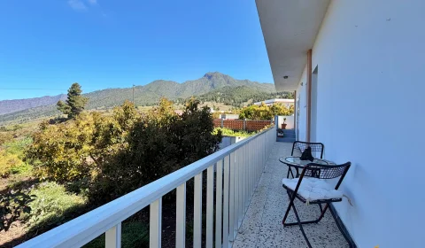
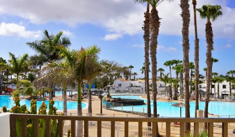
Holiday accommodations Lanzarote
Coastal hike from Playa Quemada to Playa Papagayo
Difficulty: Easy to moderate
Length: approx. 12 km (one way)
Elevation gain: approx. 300 m
This hike reveals Lanzarote’s gentler side: a walk along the wild southern coast with views of turquoise waters, small bays, and lava hills. It begins in the quiet fishing village of Playa Quemada and follows sandy paths and rocky plateaus to the paradisiacal Papagayo beaches.
Tip: Plan a return by taxi or do it as a half-day tour with a beach break.
Note: No shade – sun and heat protection is essential!
Speciality: This hike combines coastal vibes, solitude, and a refreshing dip in the sea.
Montaña Roja Volcano – Sunset on the volcanic cone
Difficulty: Easy
Length: approx. 4 km (circular route)
Elevation gain: approx. 200 m
In the south of the island, near Playa Blanca, rises Montaña Roja – a red-hued volcanic cone offering an impressive panoramic view. The climb is short but rewarding: from the crater rim you can gaze across the Atlantic all the way to Fuerteventura. This hike is especially atmospheric in the late afternoon when the setting sun bathes the lava rock in a warm red glow.
Tip: Ideal for photography lovers and sunset seekers – a perfect way to end the day.
Conclusion: Lanzarote is a paradise for hikers looking for something out of the ordinary. Here, you’re not just walking through nature, but through the Earth's history: solidified lava, crumbling craters, young rock formations. The island combines raw wilderness with subtle charm – and offers routes for every mood: from lunar landscapes and coastal idylls to panoramic volcano views.
La Palma – The green hiking island
La Palma, often lovingly called "La Isla Bonita," is a true natural paradise and considered one of the best hiking islands in Europe. The westernmost of the Canary Islands is characterized by dense laurel forests, rugged volcanic ridges, deep ravines, and the mighty Caldera de Taburiente – a massive erosion crater at the island's center.
Compared to other Canary Islands, La Palma feels more unspoiled, quieter, and more connected to nature. Many trails have historical roots – shepherd paths, trade routes, or volcanic observation tracks. And the best part: you'll often be hiking above the clouds, in fresh mountain air, with spectacular views of the neighboring islands. Here are four impressive hikes that perfectly capture La Palma’s beauty:
Ruta de los Volcanes – From El Pilar to Fuencaliente
Difficulty: Moderate to difficult
Length: approx. 18 km
Elevation change: approx. 1.200 m downhill
This hike is an absolute highlight on La Palma. It follows the Cumbre Vieja volcanic ridge, past both ancient and recent craters – including the Tajogaite volcano, which erupted in 2021. You’ll hike through lava fields and across black ash slopes, enjoying breathtaking views of the Atlantic and the island's interior.
Start: Refugio El Pilar (1.450 m)
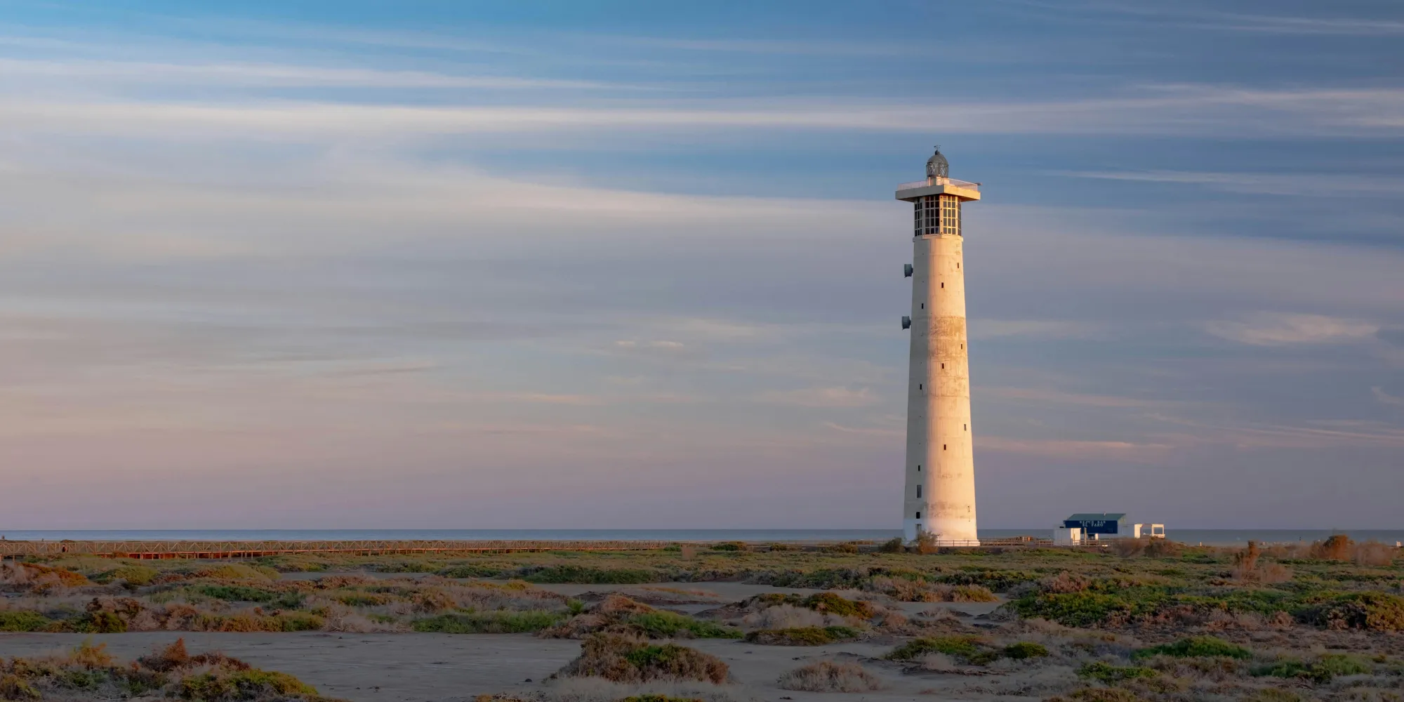
End: Los Canarios or the lighthouse at Fuencaliente at the southern tip
Tip: This route is manageable in stable weather, but beware – there’s almost no shade, so start early and bring plenty of water!
Caldera de Taburiente – Hiking in a giant erosion crater
Difficulty: Moderate
Length: approx. 16 km (loop or out-and-back)
Elevation gain: approx. 1.000 m
The Caldera de Taburiente is the heart of the island – a giant green basin surrounded by mountains over 2.000 meters high. The classic route begins at the Mirador de Los Brecitos and descends into the Caldera, through pine forests, past waterfalls, and the legendary “Roque Idafe,” a sacred rock spire of the island’s indigenous people.
Option: Return via the Barranco de las Angustias riverbed (impressive, but more demanding)
Speciality: In the Caldera you’ll find true wilderness – and with a bit of luck, streams, small lagoons, and rare plants.
Holiday accommodations La Palma
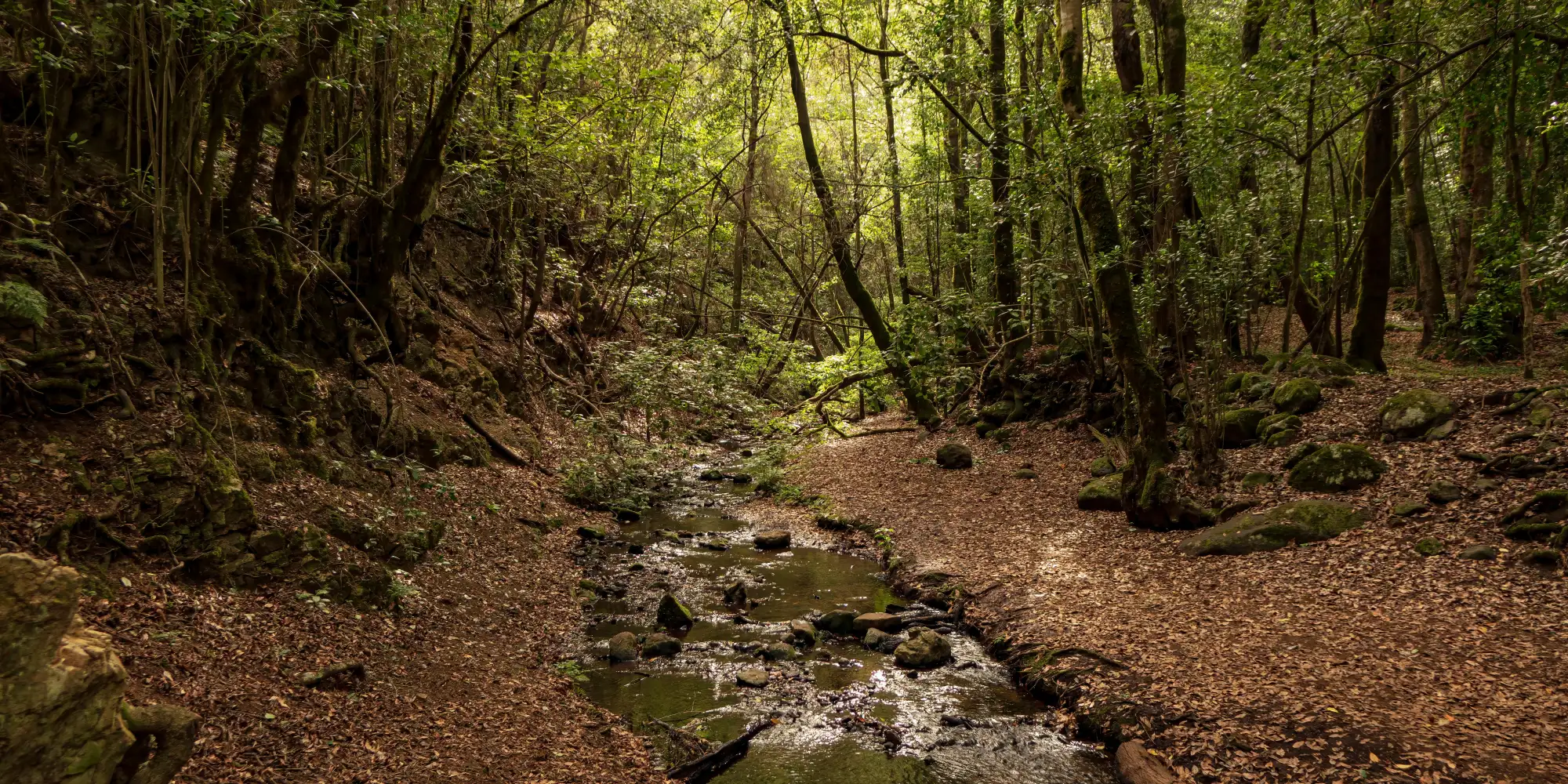
Los Tilos – Laurel forest & waterfall hike in the northeast
Difficulty: Easy to moderate
Length: approx. 6–8 km (depending on variant)
Elevation gain: approx. 300–500 m
In the Los Tilos Biosphere Reserve, you’ll find a magical cloud forest with giant tree ferns, mosses, and deep ravines. The hike leads to a small waterfall and along historic tunnel paths once used for water transport. A perfect contrast to the volcanic landscapes of the south.
Starting point: Los Tilos Visitor Center
Tip: Bring a headlamp for the dark tunnels!
Highlight: The mystical, moist forest is especially magical on foggy days.
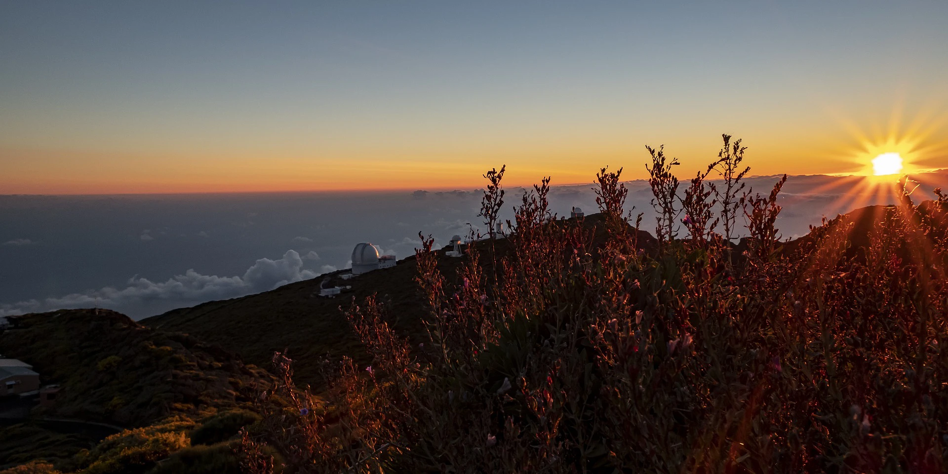
Pico de la Nieve – Ridge walk above the clouds
Difficulty: Moderate
Length: approx. 12 km (out and back)
Elevation gain: approx. 600 m
This high-altitude hike along the Cumbre Nueva ridge offers some of the best views on La Palma – often over a sea of clouds lying below you. From the Pico de la Nieve viewpoint, the trail continues on a well-marked path through alpine terrain to the Refugio Punta de los Roques.
Speciality: Panoramic views of Tenerife, La Gomera, and El Hierro on clear days
Best time: Early morning, before the clouds build up
Tip: This hike is also perfect for sunrise walks – unforgettable!
Conclusion: La Palma is an island for explorers. Whether you're hiking through an ancient volcano, wandering in lush laurel forests, or walking along high ridges overlooking the Atlantic – every tour here is a deep dive into the power of nature. The diversity of landscapes, peaceful atmosphere, and excellent hiking infrastructure make La Palma a dream destination for anyone who wants not just to walk, but to truly experience and enjoy.
El Hierro – Pristine and remote
El Hierro is the smallest and most remote of the main Canary Islands – and that’s exactly what makes it so appealing. Far from mass tourism, you’ll find an almost untouched natural environment, shaped by ancient juniper trees, wind-swept plateaus, volcanic cones, and dramatic cliffs. In 2000, the entire island was declared a UNESCO Biosphere Reserve.
Those who hike on El Hierro will encounter a slower-paced world. Time seems to move more gently here. In return, the connection to nature is all the more intense. The trails are natural, well-marked, and lead through various microclimates – from moist cloud forests to barren lava landscapes. Perfect for anyone seeking peace, a deep connection to nature, and geological diversity. Here are four impressive hiking routes that showcase the uniqueness of El Hierro:
Camino de Jinama – Historic ascent to the El Golfo plateau
Difficulty: Moderate to difficult
Length: approx. 6 km (one way)
Elevation gain: approx. 900 m
The historic Camino de Jinama was once the most important connection between the highlands and the fertile El Golfo valley. Today, it is one of the most impressive hiking trails on the island. The path climbs in switchbacks through laurel forests on ancient cobblestone tracks up to the Mirador de Jinama viewpoint, offering a fantastic view over the Golfo Valley.
Tip: For an easier hike, start at the top and walk down – a taxi ride back is possible.
La Llanía – Mysticism, cloud forest, and lava fields
Difficulty: Easy to moderate
Length: approx. 7 km (circular route)
Elevation gain: approx. 300 m
This circular route is one of the most popular hikes on El Hierro – and rightly so: it combines various landscapes in a small area. You start in the dense, evergreen cloud forest, hike through open volcanic terrain, and finally reach the spectacular viewpoint Mirador de La Llanía overlooking the Golfo Valley.
Tip: Ideal in changing weather – fog is an experience here, not an obstacle.
Holiday accommodations El Hierro
Camino de la Virgen – The great island traverse
Difficulty: Difficult
Length: approx. 28 km
Elevation gain: over 1.200 m
The Camino de la Virgen is a meaningful pilgrimage route, walked every four years during the procession of the island’s patron saint. It crosses El Hierro from Valverde in the northeast to La Dehesa in the west – over central highlands, pine forests, and pastures. This route offers an intense encounter with the island’s core.
Note: Only suitable for experienced hikers – plan as a full-day hike with transfers or as a multi-day trek.
El Sabinar juniper forest – Nature shaped by the wind
Difficulty: Easy
Length: approx. 5 km (circular route)
Elevation gain: approx. 200 m
The iconic, wind-shaped juniper trees of El Sabinar are among the most famous natural sights on El Hierro. This short but impressive hike explores the isolated pastureland of La Dehesa, lets you feel the power of the trade winds, and enjoy absolute silence. The route offers spectacular views as far as the cliffs of Punta de Orchilla, the "westernmost point of Europe."
Tip: Especially atmospheric in the early morning or at sunset – a highlight for photographers!
Conclusion: El Hierro is an island for true explorers – rugged, authentic, and deeply rooted in nature. You won’t find crowds here, but solitude and authenticity. The hiking routes are as diverse as the island's terrain itself: from shady cloud forests to volcanic plateaus and dramatic coastlines. If you’re looking to slow down, breathe deeply, and truly experience nature, this is the place to be.
Gran Canaria – From dunes to peaks
Gran Canaria is often described as a "miniature continent" – and for good reason. On a relatively small area, you’ll find alpine mountain ranges, green valleys, dry gorges, misty forests, picturesque villages, and even desert vibes in the famous dunes of Maspalomas. For hiking enthusiasts, this means countless opportunities to discover the island from different perspectives.
In addition to the well-developed network of PR and GR hiking trails (including the GR-131), Gran Canaria offers a pleasantly mild climate that makes hiking possible year-round. And whether you're a summit seeker or a coast lover – here, you can often enjoy both on the same tour. Here are four especially rewarding hikes on Gran Canaria that highlight the island’s versatility:
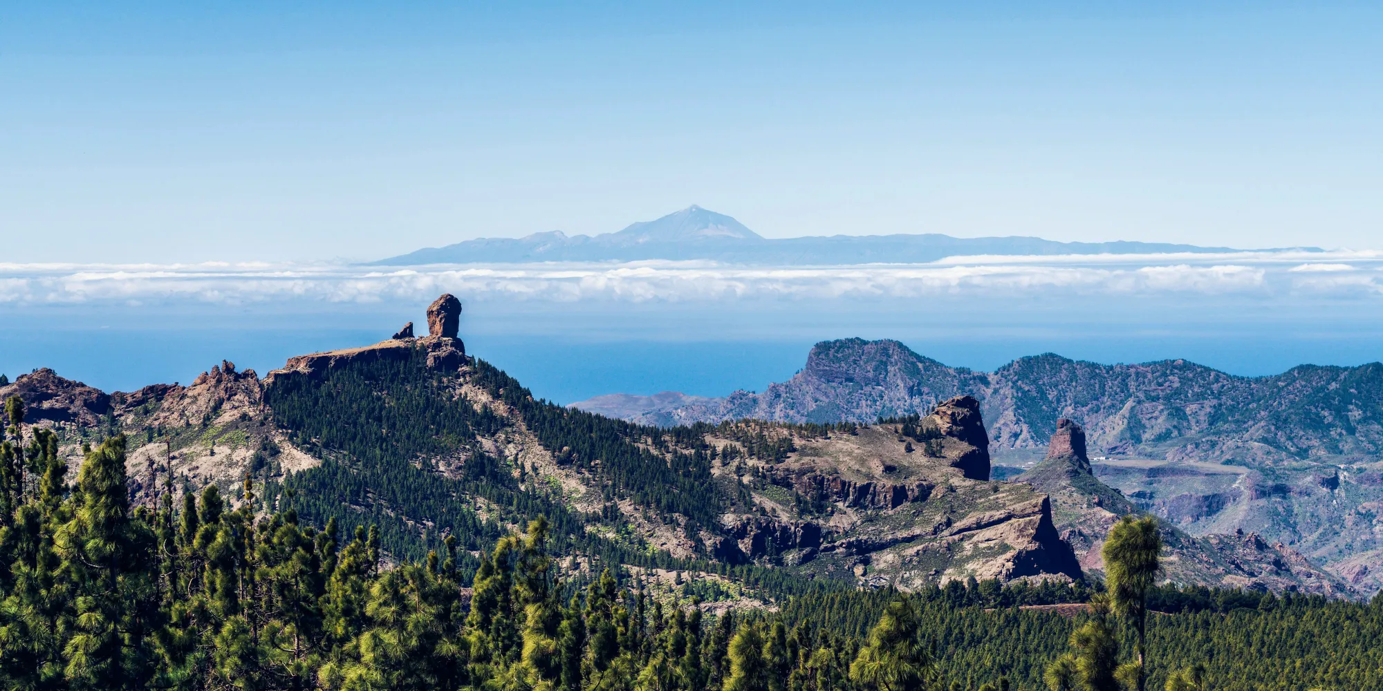
Roque Nublo – Island landmark and panoramic views
Difficulty: Easy to moderate
Length: approx. 5 km (out and back)
Elevation gain: approx. 200 m
Roque Nublo is Gran Canaria’s most famous natural monument. The 80-meter-high basalt monolith stands at 1.813 meters above sea level and offers breathtaking panoramic views – as far as Tenerife on a clear day. The hike starts at the La Goleta parking area and follows a well-maintained path up to the rock platform.
Tip: Go early in the morning or later in the afternoon to avoid the crowds.
Cruz de Tejeda to Artenara – Ridge hike with views
Difficulty: Moderate
Length: approx. 10 km
Elevation gain: approx. 600 m
This ridge hike connects two of the island’s most beautiful mountain villages: Cruz de Tejeda, the hiking heart of Gran Canaria, and Artenara, the highest village on the island. The trail runs along mountain ridges, through pine forests, and past striking rock formations – with constant views of the central mountain landscape.
Tip: Artenara has a charming cave museum and cozy restaurants – perfect for a relaxing finish.
Holiday accommodations Gran Canaria
Barranco de Guayadeque – Gorge hike and cave culture
Difficulty: Easy to moderate
Length: approx. 6–10 km (depending on route)
Elevation gain: up to 400 m
The Barranco de Guayadeque is one of the most spectacular gorges on the island. Here, nature, history, and culture come together impressively. You hike along the valley floor through lush vegetation, past ancient cave dwellings, small chapels, and rock overhangs – with the option to climb up to Cueva Bermeja or Montaña de las Tierras.
Tip: After the hike, dine in a cave restaurant – a unique experience!
Dunes of Maspalomas & Charca – Desert feel by the coast
Difficulty: Easy
Length: approx. 4–6 km (depending on route)
Elevation gain: minimal
The Dunas de Maspalomas offer an extraordinary natural experience. This protected dune complex stretches directly along the island’s southern coast. You can walk along marked trails through the sand landscape – early morning or evening, when the light is soft, makes for a surreal experience.
Tip: Walk barefoot in the sand and enjoy the evening atmosphere with a view of the lighthouse.
Conclusion: Gran Canaria is an island adventure in itself: in just a few kilometers, you can hike from ochre-colored dunes through dense pine forests to rocky peaks with views above the sea of clouds. The variety of landscapes, pleasant climate, and strong infrastructure make this island one of the best hiking destinations in Europe – for beginners and experienced mountain lovers alike.
Fuerteventura – Desert island with hidden hiking gems
At first glance, Fuerteventura may seem like the most barren of the Canary Islands—but it’s precisely this raw, untouched quality that gives it its unique charm. The island is defined by volcanic terrain, stone deserts, endless sandy plains, and rugged mountain ridges. While many visitors focus on the island’s famous beaches, hikers will discover a silent, expansive landscape that feels almost meditative.
Fuerteventura is ideal for those seeking solitude, space, and stillness. The trails are generally technically easy but traverse windy, sunny, and sometimes demanding arid regions—so good preparation and plenty of water are essential. Here are four special hikes that showcase the island’s quiet, wild side:
Pico de la Zarza – The island’s highest point
Difficulty: Moderate
Length: Approx. 13 km (round trip)
Elevation gain: Approx. 700 m
Pico de la Zarza, at 807 metres, is the highest peak on Fuerteventura. The trail begins near Morro Jable and ascends steadily along a well-marked path. You’ll hike through arid volcanic terrain, past lava rocks and sparse shrubbery, with sweeping views over the Atlantic and the dramatic Cofete coastline.
Tip: Start early, as there’s little shade on the route. Bring wind and sun protection, and plenty of water.
Barranco de las Peñitas – A hidden oasis in the island’s interior
Difficulty: Easy to moderate
Length: Approx. 6 km (loop possible)
Elevation gain: Approx. 200 m
Near Vega de Río Palmas lies a hidden natural gem: the Barranco de las Peñitas. This rocky gorge leads through one of the island’s few green areas, with palm groves, striking rock formations, and small watercourses (after rain). The route also passes the historic Ermita de Nuestra Señora de la Peña, a chapel nestled in the rocks.
Tip: Suitable for families, but wear sturdy shoes due to some scrambling sections.
Holiday accommodations Fuerteventura
Calderón Hondo – Crater views and volcanic landscapes
Difficulty: Easy
Length: Approx. 4–5 km (loop)
Elevation gain: Approx. 150 m
Located near Lajares in the north, Calderón Hondo is one of the most accessible and scenic volcanic craters on the island. A short loop trail leads you to the crater rim, offering spectacular views into its depths. The surrounding barren landscape, with lava fields and free-roaming goats, has an almost lunar feel.
Tip: Perfect for a half-day excursion or combined with a visit to Lajares.
Playa del Cofete – Coastal hike with a wilderness factor
Difficulty: Moderate
Length: Approx. 10–12 km (round trip)
Elevation gain: Approx. 300 m
Cofete is one of Europe’s wildest beaches—remote, kilometers long, and often deserted. You can reach it via an adventurous dirt road by car or hike down from the Mirador de Cofete pass along an old shepherd’s path. The hike offers dramatic scenery, rugged mountains, and crashing surf.
Tip: Due to wind, sun, and lack of infrastructure, only attempt this hike well-prepared. Swimming is dangerous due to strong currents.
Conclusion: Fuerteventura may appear dry and barren at first glance—but within this seeming emptiness lies a special magic. Those willing to look closer will be rewarded with silent landscapes, mysterious oases, and impressive volcanic trails. Ideal for anyone who values meditative expanses and unspoiled nature—and who is prepared to forgo comfort to find true island tranquility.
Practical tips for your hiking adventure on the Canary Islands
Hiking in the Canary Islands is an unforgettable experience—but to ensure you’re safe and get the most enjoyment, there are a few things to keep in mind. The landscapes are diverse, the climates changeable, and some trails are quite remote. With good planning, your hiking holiday will be pure joy. Here are the most important tips for your tours among volcanoes, coasts, and pine forests:
Equipment & clothing – Layering instead of Flip-Flops
The Canary Islands offer many climate zones in a small area. Especially in higher elevations, it can quickly become cool and windy – even if it's still summer down on the beach.
Recommended:
Sturdy hiking boots with good tread (also for coastal paths)
Breathable clothing in layers Wind and rain protection (especially on La Palma, La Gomera, and El Hierro)
Hat, sunglasses & sunscreen (UV radiation is intense)
Daypack with enough water & snacks
Navigation & Maps – Don’t forget offline Apps
Many trails are well signposted – but especially on more remote routes, orientation can be tricky. Don’t rely on mobile reception.
Tip: Download maps & routes in advance, for example via Komoot, AllTrails, Outdooractive, or GPX files for use with GPS devices or apps. A classic hiking map can also help with planning and keeping an overview.
Water & food – Preparation is important
On most hiking trails, there are no fountains or places to stop for food – especially on Fuerteventura, Lanzarote, and El Hierro. Make sure to bring enough water: at least 1,5–2 liters per person, significantly more for longer hikes or in hot weather. Snacks like nuts, dried fruit, or energy bars help maintain energy levels.
Especially important: eat regularly and be mindful of electrolytes in high temperatures.
Weather & time of day – Sun, clouds, wind, and microclimates
Even though the climate is mild, weather in higher elevations or on north-facing slopes can change quickly. Early morning offers the best light, pleasant temperatures – and helps avoid the wind, which often picks up by midday.
Tip: Start early, especially for longer hikes, check local weather services like AEMET or apps like Windy, and avoid steep trails when wet – slippery lava and clay can be dangerous.
Nature & respect – Protect what inspires you
The Canary Islands are a biodiversity hotspot. Many plants and animals are endemic and sensitive to human impact. Stay on marked trails, take all waste with you (including organic waste!), and follow local regulations – especially in protected areas and national parks.
Also important: No drones without permission, don’t feed animals (goats, lizards, birds), and respect farmland & shepherd fences.
Safety & emergencies – Knowledge is protection
Hiking isn’t a high-risk sport – but on lonely volcanic paths or in gorges, a fall can quickly become serious. Find out in advance about your route’s difficulty level and don’t overestimate your abilities. In case of emergency: Emergency number in Spain: 112 Share GPS coordinates via smartphone Inform someone about your route before setting off
Tip: In remote areas, a small first aid kit with disinfectant, plasters & blister plasters can be worth its weight in gold.
Flexibly exploring the best hiking trails – with a rental car
If you want to discover the Canary Islands’ impressive volcanic landscapes, spectacular coastal trails, and remote natural paradises on your own terms, a rental car is the ideal companion for your hiking holiday. Many of the most beautiful hiking areas lie off the main tourist routes.
With your own car, you can reach secluded starting points, high-altitude viewpoints, or hidden gorges flexibly and independently. Whether you want to make a spontaneous scenic stop, visit a village restaurant after your hike, or conveniently return to your accommodation at the end of the day – a rental car gives you the freedom to explore the island at your own pace.
Rental car offer Canary Islands
Start your hiking adventure in the Canary Islands with us!
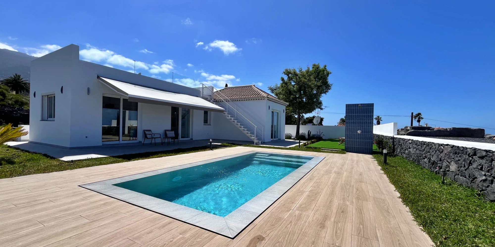
Want to not only experience the stunning nature of the Canaries but live right in the middle of it? Then you’ve come to the right place. We offer individually selected holiday accommodations on all seven islands – perfect for your hiking holiday between volcanic paths, coastal trails, and laurel forests.
Whether it’s a cozy country house, a quiet apartment with sea view, a modern holiday home with a pool, or a charming finca surrounded by unspoiled nature – we’ll find the right place to suit your needs! Contact us now – and let us support you with expert guidance as you plan your personal hiking adventure in the Canary Islands. Your tour between volcanoes and coast is guaranteed to be unforgettable!
Email:
Phone +34 675 400 700